First Dip
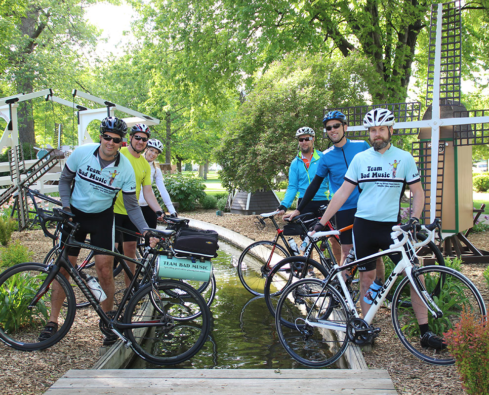
For those riders who wish to dip their tires, we will have two areas to do so. First, we will be transporting water from the Missouri River and filling the canal in Windmill Park! This will provide a unique photo opportunity to begin RAGBRAI, as several windmills line the canal.
Second, for those who need to dip on the western Iowa border, we have arranged for the safest and shortest route. The dipping site is Carr’s Landing in Hawarden along the Big Sioux River. There is a boat ramp to the river. Directions to Carr’s Landing from the main campground in Orange City (31 miles): take Albany Ave south two miles to B58 (470th St) and head west. Go thirteen miles to Ireton. Turn north at Ireton on K30 and travel two miles to Highway 10. Continue north for three more miles to B46 and turn west. Go seven miles to Cherry Ave (K18) and turn south. This turns to the west. Turn right on 23rd St and travel 1 mile to Highway 10. Turn south and go two blocks to 21st Street and turn west. Go one block to Ave D, then north one block to 22nd St, and west one block to Carr’s Landing. Reverse the route to return. We plan on marking the route to assist you. This will keep you off Highway 10, which will be busy and unsafe the opening weekend of RAGBRAI.
Riders may utilize any of the four main entrances into Orange City. K64/Albany Ave North & South or Highway 10 East or West. Information booths will be set up at each entrance to help riders with logistics
Click on any of the markers to see more information.
[wpgmza id=”1″]
Blue line represents route to and from Big Sioux River to Orange City.


